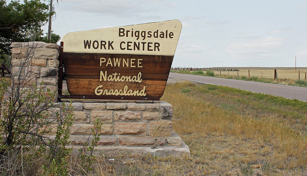
If you’re willing to get off the beaten path, visiting the Pawnee National Grassland is a treat with its beautiful vistas, wind-swept prairie grasses and solitude. Located 35 miles east of Fort Collins and 25 miles northeast of Greeley, the Pawnee is an internationally-known birding area. Hiking, biking, camping, picnicking, horseback riding and stargazing are other popular activities.
The highlight of the trip is the mesmerizing Pawnee Buttes, two adjacent mesas that rise above the rolling topography. At 350 feet tall, they appear from nowhere. Author James Michener dubbed them as the “two sentinels of the plains.”
To see the buttes, you need to drive several miles on gravel and dirt roads north of Colorado 14. But the rough drive is worth it as when you reach the trailhead and look out at this unique geological feature; your jaw may drop. The parking area features interpretive signs, a vault toilet and several tables and pavilions. However, there is no water. There is a marked trail to the buttes that, while short, is somewhat rugged with loose rock and lots of steps.
The cliffs in this area are a preferred nesting area for many birds of prey. March through June is their critical breeding and nesting season, and part of the area is closed during this time.
Other parts of the area support many bird species, especially during migration, so pack your binoculars. The Colorado State Bird, the lark bunting, is common in the spring and summer. Many unique high plains bird species, such as the long-billed curlew, mountain plover and the burrowing owl, may be seen on the marked 21-mile bird watching trail that will take you over dirt and gravel roads. A bird checklist is available at the Forest Service office or on the web, (https://www.fs.usda.gov/). While driving or hiking, also watch for pronghorn, mule deer, coyote, swift fox, snakes and prairie dogs. Just remember, it is a long way to gas or food, so be prepared.
Camping is available at Crow Valley Recreation Area northwest of Briggsdale as well as at undeveloped sites found along the gravel roads in the grasslands.
This unique place is part of the 125-mile Pawnee Pioneer Trails Scenic and Historic Byway, which retraces the steps of the old Native American and pioneer trails across the open plains. (The byway leads east from Ault to Briggsdale on State Highway 14. From Briggsdale, turn north on State Highway 392, which will merge again with Highway 14 at Raymer. From there, you can continue on Highway 14 to Sterling or turn onto Highway 52 toward Fort Morgan. The byway is 125 miles long and will take about 2 hours to drive.)
The Pawnee gives you a sense of what the prairie was like without people, and you can let your imagination wonder at what our forefathers saw as they crossed the buffalo-studded plains in covered wagons. It’s a window to a forgotten time, as well as a window to the future as the prairie preserve is sandwiched by oil and gas wells to the south and a wind energy farm to the north.
For more information, contact the Pawnee Ranger District, 115 North 2nd Ave, Ault, CO 80610. (970) 834-9270. Note: Office is closed weekends and federal holidays. Web address: https://www.fs.usda.gov/arp.